Cold Front Cuts Southern Colorado Highs by 15 Degrees
Gusts to 45 mph and up to 0.75 inches of rain are expected as tropical moisture shifts east into the state.
By Chloe Kapoor ·
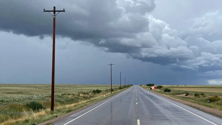
Up to 0.75 inches of rain is expected across southern Colorado as a cold front crosses the region early Saturday. This accumulation follows a week of above-average warmth that is set to end abruptly.
The National Weather Service projects that the front will lower temperatures by 10 to 15 degrees, pushing highs below seasonal norms. Strong winds will accompany the cooling trend, with gusts reaching 40 to 45 mph across the area from Friday through the weekend.
Colorado Springs is forecast to see a high of 73 degrees on Friday before the drop. Pueblo is expected to reach 81 degrees on Friday, while Canon City will hit 75 degrees. The plains are slated for a high of 83 degrees, marking the peak of the warm period before the front arrives.
Heavy rainfall and flood risks persist in the San Juan Mountains and the southwestern corner of the state. Flood watches, severe thunderstorm watches, and specific flood warnings remain in effect for these western areas. Snow levels are expected to lower once the cold air moves through.
Tropical moisture shifting east will add to the weekend precipitation. Woodland Park is forecast to stay above seasonal averages on Friday with a high of 56 degrees, but the weekend will bring cold rain and potential snow. The plains may see significant rainfall totals as temperatures fall and wind speeds increase.
Overnight lows across most of southern Colorado will settle in the 40s and 50s. The extended outlook indicates a dry period beginning next week, with temperatures returning to more seasonal levels after the front passes.
Source: KOAA News5
More Business · Colorado Springs news · Buyer Beware · Report a business · Got a Story?